
Since 1763 the name 'Russborough' has been synonymous with collecting and dealing in fine art. In the closing decades of the last century the historic town of Port Hope has become home to Lord Russborough's Annex, which specialises in an individual mix of antique maps, paintings and prints.
An extract of our Maps currently available:
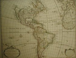
De L'Isle - Western Hemisphere
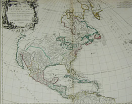
Pownall/Gibson/Bowen- North America
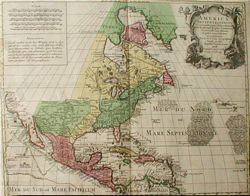
Robert De Vaugondy - North America
Tobias Conrad Lotter - North America
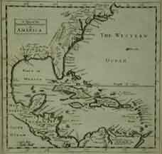
Moll West Indies & Florida
Coronelli - Eastern Canada


|
||||||||||||||||||