Since 1763 the name 'Russborough' has been synonymous with collecting and dealing in fine art. In the closing decades of the last century the historic town of Port Hope has become home to Lord Russborough's Annex, which specialises in an individual mix of antique maps, paintings and prints.

British Isles maps

An extract of our maps currently available:
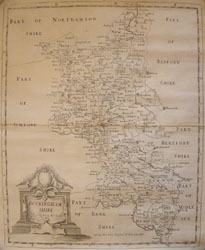
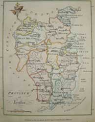
Buckinghamshire: 1
River Thames & London: 1
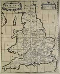
England and Wales: 1
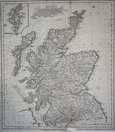
Scotland: 1
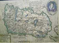
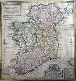
Maps of Ireland: 1 2 3

Maps of British Isles from the
seventeenth century

DESCRIPTION

PRICE CODE

FIRST MAPS TO USE A LONDON PRIME MERIDIAN

morden bucks

Click here for full description


ROBERT MORDEN

BUCKINGHAMSHIRE

Copper Engraved map, uncoloured as issued, First Edition, Ornamental title cartouche.


16 5/16 x 13 9/16  (41.4 x 34.5 cm)

Ref. RStC 3/DNN/ da.anno> AAL                   

B
Click Here
for Pricing Details


JOHN STRUT
BRITANNIA SAXONICA

Copper engraved map title cartouche.Uncoloured as issued in Camden's Britannia 1695

14 3/4 x 11 5/8" (37.5 x 29.5 cm.)

Ref. PS24 /ann/ s.nl >LOL

C
Click
Here
for
Pricing Details


Stratford Scotland
J. Stratford
Scotland 1804

Shows Western, Orkney, and Shetland Isles
Some condition issues, Large tear repair, lower left part of lower border lacking.
17 5/8 x 14 3/4”
Ref PS34 (25a)/EN/s.anna >DNL PRICE CODE A

Map of Thames during the industrial revolution

DESCRIPTION


tombleson river Thames

WILLIAM TOMBLESON

PANORAMIC MAP OF THE RIVER THAMES
- from its source to the sea exhibiting the picturesque scenery and principal objects on its banks  with the distances from London bridge Etc. also a panoramic map of the River Medway.

Engraved on steel and beautifully coloured on a sheet four feet in length. Jas Reynolds & sons n/d. original title to slip case on verso.

Map: 49 3/4 x 9 3/4” Frame 51 1/2 x 11 1/4 ” 
Ref JC1 /ELN/ v.anda VOL   SOLD
PRICE CODE D

First published by James Reynolds in 1834, this new edition ca 1840 is a fine large strip map rendering a Birds Eye view of the 215 mile long river Thames from its source at Thames Head, nr. Kemble, Gloucestershire, to its mouth at the Thames Estuary and Nore Light, as the course of its ancient river name Isis runs through the beautiful Thames Valley towns of Ashton Keynes, Lechlade, Oxford, Abingdon, Wallingford, Reading, Henley-on-Thames, Marlow, Maidenhead, Windsor & Eton, Staines and Weybridge, before entering the Greater London area., where much of today's west, south and east London were then still separate villages. Major Roads and Railways are shown as is the Thames tunnel, then still under construction (begun 1824) For those who enjoyed the Jubilee pageant and other activities along the length of the river flowing with liquid history, this is a great and scarce item.

Maps of Ireland

DESCRIPTION

PRICE CODE

RARE ELIZABEATHAN MAP OF IRELAND

Quad Ireland small

Click here for full description


MATTHIAS QUAD 

HIBERNIAE/ BRITANICAE INSU/LAE NOVA DES:CRIPTIO./ERYN/irlande.

RARE Copper engraved map, hand-coloured in outline in an early hand, Scale of English military miles. Portrait of Elizabeth I. Latin text. [1608]

8 3/8 x 11 7/8" (21.4 x 30.2cm)

Ref: JC 1 /DNNN/ d.dnda >DOOL                  

F
Click Here
for Pricing Details

Scale leinster

 BERNARD SCALÉ
A series of maps from the Hibernian Atlas.

7 1/4 x 5 3/4" (8.4 x 4.6 cm) approx.

Ref: JC 2a-k /(LLN) LN ea/ d.dnda >DRL ea 

Also available:
Province of Munster
 Province of Connaught
 County of Donegall [sic]
 County of Monaghan
 County of Cavan
County of Antrim
County of Down
County of Armagh
County of Londonderry
County of Fermanagh


SOLD
A

Click
Here
for
Pricing Details

Moll Ireland small

Click map for enlargement

Ireland - HERMAN MOLL

A pocket companion of / Ireland. / Containing all the cities, market /towns, boroughs, all ye great roads/, and principal cross roads, with the / computed miles from town to town./ by Herman Moll. Geographer
Sold by T. Bowles next ye Chapter House in St. Pauls Church yard, & I. Bowles at ye Black Horse in Cornhill. [Date: 1736]
Original outline colour. Some strengthening along folds and edges, potion of top left margin cut close for fold, printed #12 in top right corner.
Size 11 ¾ x 10 ¾” (30.3 x 27.2 cm.)
DGL/ lra M1018 /AN/s.dosr > LLN